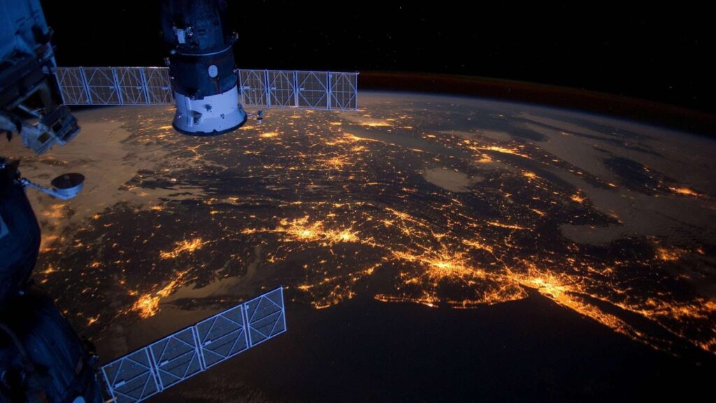
Since Thailand has launched the Thaichote satellite or THEOS satellite into space on Wednesday, October 1, 2008, and has been collecting satellite image data for the past 15 years. Remote sensing technology or remote sensing has been widely used.
in spatial management to increase the efficiency of public administration reduce inequality add economic value raise the level of stability public safety resource management Preventing and minimizing losses and damage from disasters
But the problem often arises from access to satellite image data. Due to the large amount of satellite image data and the lack of a medium to access the data and a platform to process the data.
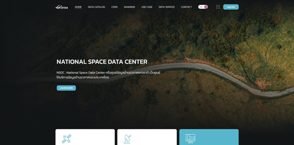
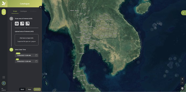
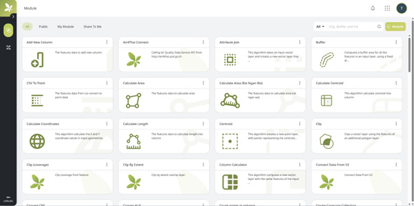
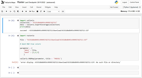
Geo-Informatics and Space Technology Development Agency (Public Organization) or GISTDA. Therefore, the National Space Data Center: NSDC or National Space Data Center has been pushed. which will provide services in both the information service system that helps to provide and support Thailand’s space data, including geospatial data such as satellite images Continuous coordinate reference data, etc., and processing systems via the cloud. to be like geospatial software That is used to process to obtain the desired results, such as health assessment and classification of plants with NDVI, assessment of flooded areas to compensate for damage caused to people, etc.