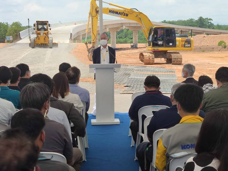
As part of the government’s support for the establishment of the National Continuously Operating Reference Station (CORS) Data Center, there are related agencies involved in overseeing and supporting the infrastructure that will be crucial for Thailand’s future. The center will gather high-precision positioning data, including satellite signals, to serve as a fundamental infrastructure for the country. It aims to enhance the development capabilities of the industrial sector, particularly in the High Technology Industry, with the support of 5G technology. This initiative is expected to contribute to increasing Thailand’s competitiveness in the public sector, education sector, and private sector, especially for startups, SMEs, and industrial sectors in the future.
In Thailand’s future, the country envisions an environmentally sustainable ecosystem that utilizes high-precision positioning data (GNSS data) in the RINEX format, which is an internationally standardized format for exchanging receiver data from satellite signals. Furthermore, the utilization of 5G technology is intended to facilitate data services upstream and downstream. This will enable businesses to access and utilize data across various sectors, leading to value creation.
“The establishment of the Global Navigation Satellite System (GNSS) infrastructure, based on the Network of CORS Networks, is being promoted to leverage the benefits of the National Continuously Operating Reference Station (CORS) Data Center which aims to provide accurate and standardized coordinate data services from a network of CORS stations, ensuring high accuracy and stability. The agencies involved in this infrastructure include the Royal Thai Survey Department, the Department of Lands, the Department of Town and Country Planning, the Geo-Informatics and Space Technology Development Agency (GISTDA), the Japan International Cooperation Agency (JICA) in Thailand, and private sector partners. Together, they form the National CORS Data Center (NCDC).
The National CORS Data Center is responsible for providing high-precision and standardized coordinate data services to government agencies, the private sector, and the general public. It consolidates data from CORS stations operated by various government agencies nationwide. The canter offers three types of services:
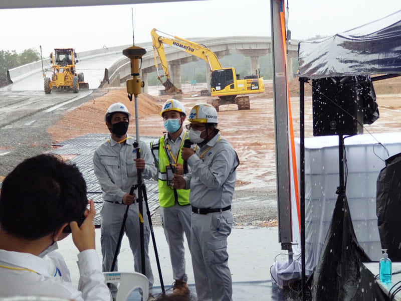
Real-Time Kinematics (RTK) Network Surveying Service using GNSS: This service enables real-time surveying using satellite signal networks.
Continuously Operating Reference Stations (CORS) Data Service: This service provides satellite signal data for navigation purposes in the form of RINEX files.
Post-Processing Service: This service processes coordinate data after the measurement.
The services provided by the National CORS Data Center ensure highly accurate coordinate measurements from satellite-based instruments. These measurements can be applied in various fields, such as:
Surveying for mapping and geospatial information purposes.
Land surveying and cadastral surveying.
Engineering and construction projects (i-Construction).
Intelligent transportation systems and autonomous vehicles.