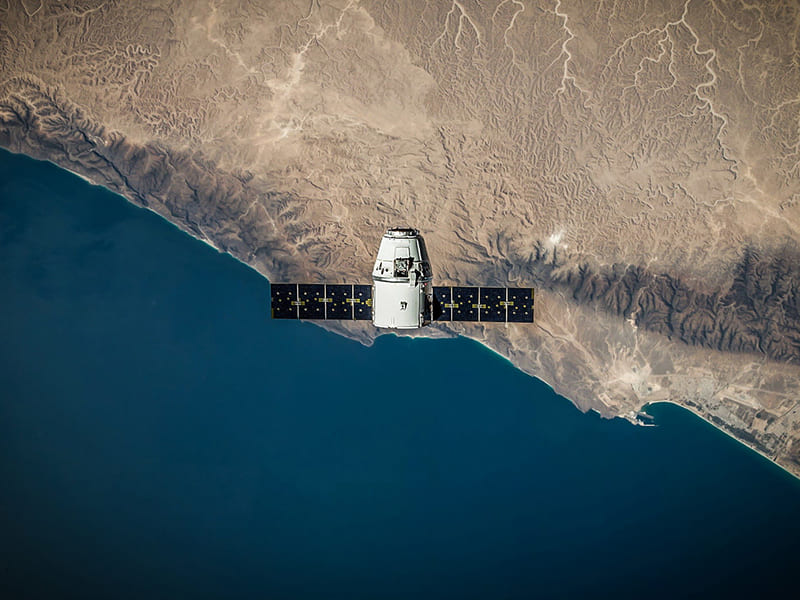
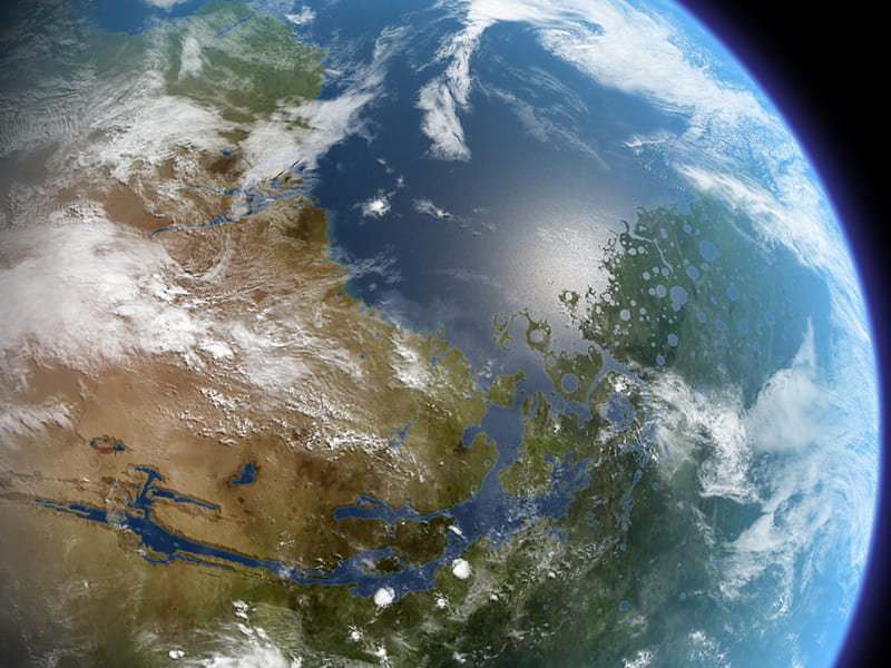
Data from resource sensing satellites has been widely applied. Initially, it was used to visually interpret data in the form of photographs, prints, or film. Nowadays, it is used to analyze data by modern computers and by satellite recordings at specified orbital times. to receive up-to-date information over time can be utilized in combination with other information. The use of computerized automatic processing is a help. To achieve the process of interpreting satellite image data automatically.Because the business sector to analysis in-depth to support work in various sectors. to have better information More accurate and versatile To enable the country to use solutions derived from geo-informatics technology as information to solve problems and improve the quality of life.In this regard, promoting the use of satellite images among users can lead to many business opportunities. lead to answers in all aspects Both industry, society, economy, in addition to tracking natural resources, disasters and the environment. for efficient resource and environmental management and sustainable development.